

Transform Your Organization with IMS Consulting's ArcGIS Solutions
IMS Consulting implements ArcGIS Indoors, campus and utility GIS, and Esri–Archibus integration, so your maps and your facilities data tell the same story.
Why Choose ArcGIS?

Turn Spatial Data into Actionable Insights with ArcGIS
ArcGIS provides a comprehensive suite of tools that enable you to visualize, analyze, and interpret spatial data in innovative ways. Whether you need to create detailed maps, develop interactive applications, or generate insightful reports, ArcGIS equips you with the capabilities to transform raw data into actionable intelligence.
Our Expertise
At IMS Consulting, we specialize in delivering tailored ArcGIS solutions that meet the unique needs of various sectors:
Corporate Environments
Optimize facility management, enhance logistics, and drive strategic planning.
Educational Institutions
Streamline campus management, enhance resource allocation, and improve safety measures.
Healthcare Facilities
Improve patient care through better spatial analysis and resource management.
Government Agencies
Enhance public services, disaster response, and urban planning with precise geospatial data.
Our Services

ArcGIS Implementation & Integration
We provide end-to-end support for implementing ArcGIS solutions, ensuring seamless integration with your existing systems and workflows.
Custom Application Development
Our team develops bespoke applications tailored to your specific requirements, enhancing functionality and user experience.
Data Management & Analysis
Leverage our expertise in managing and analyzing large datasets to gain deeper insights and make informed decisions.
Training & Support
We offer comprehensive training programs and ongoing support to ensure your team can fully utilize ArcGIS capabilities.

Indoors + Archibus

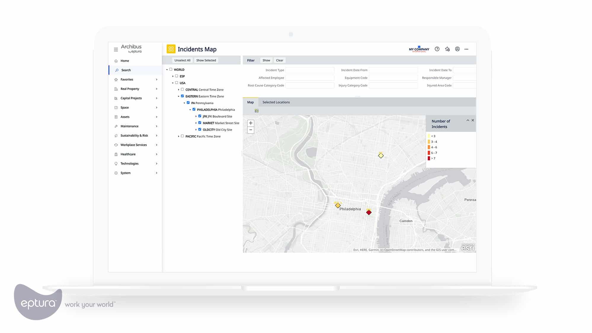
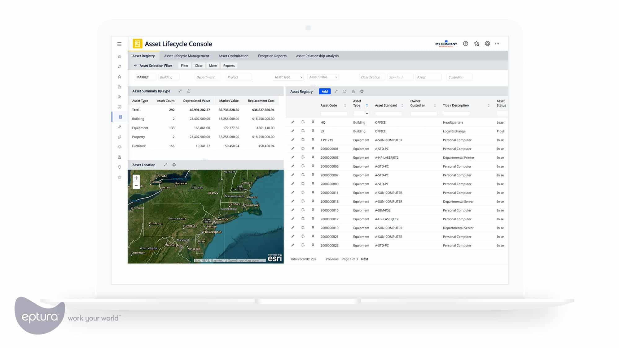
ArcGIS Indoors Connected to Archibus
- ArcGIS Indoors: indoor maps, wayfinding, and space search for employees and visitors.
- Esri–Archibus integration: Archibus space and asset data appear on ArcGIS maps, so room, occupant, and equipment details are one click away.
Campus and Federal GIS
Campus, Utility, and FedRAMP GIS
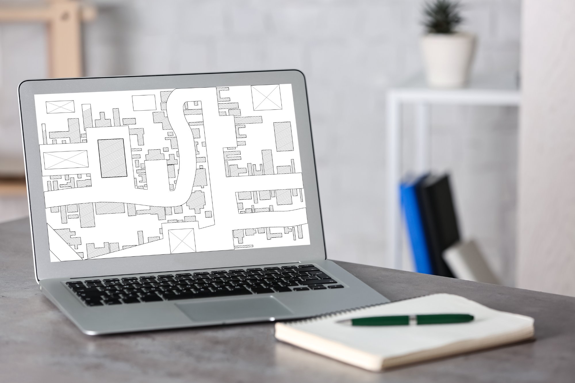
- Campus and site GIS: outdoor campus, utility, and infrastructure mapping, including utility documentation for school systems and universities.
- ArcGIS Online for federal customers: deployments on Esri’s FedRAMP-authorized ArcGIS Online.